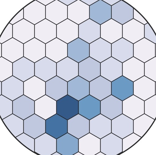
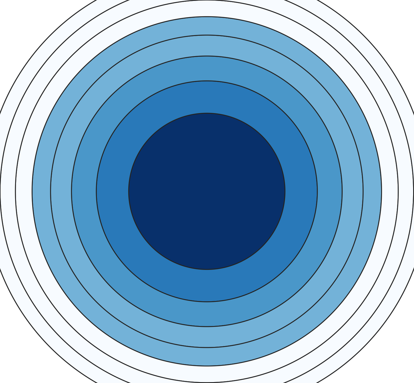
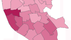
Doctoral Research A selection of data visualisations from my PhD thesis Space Ratio and the Space Ratio Chart Measuring and mapping urban density potentials Publications A selection of academic publications Fresnel Map A new equal-area thematic mapping technique Introduction to Spatial Data Science and Machine Learning Workshop Workshops that provided an introduction to spatial data science and machine learning Urban Permutations Software for exploring and visualising building densities using permutations Utility Master Planning A platform for exploring planning applications Data and Visual Journalism Data-driven stories and projects Student Data Labs Data-Driven Innovation Labs